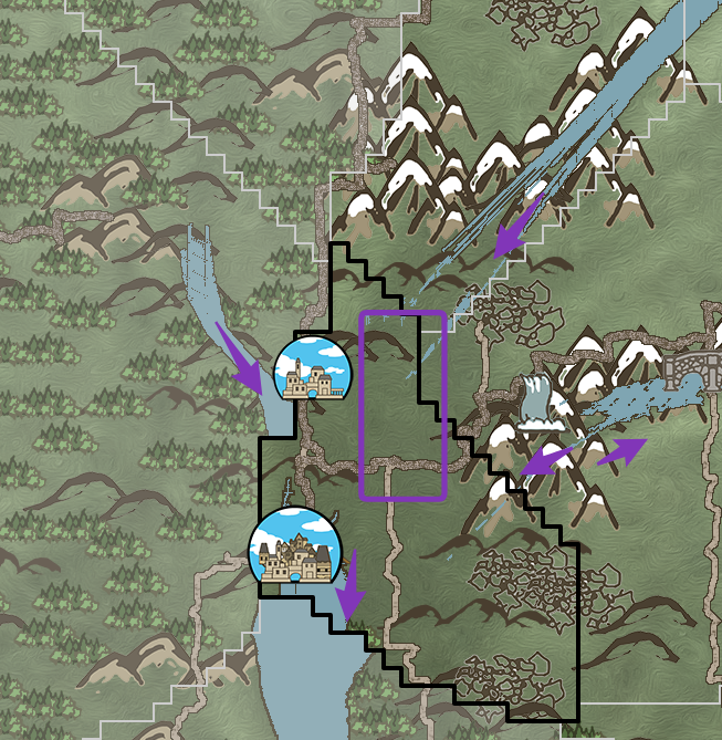
If all the water from 4 sources flow to the South, it will be a lot of water in that area which might be true base on geological survey on features and profession of that area.
From the look in the map, I think the river on the East side might mostly go East and form a lake there on the lower land on the East or might make more sense if it connect to the river in the country of Broadgull Corner in the far East and then flow southward there.
The river on North East also might just go North East as the mountain range is its starting point or it is a canyon area and the river just go through it from North East to South West as you can see in the map that the river has fan out into multiple stream there suggest that there are a lot of water flowing in that area and it either flowing fast from North East or accumulating from many streams in that mountain range but base on the map geology it is more likely to be the former.